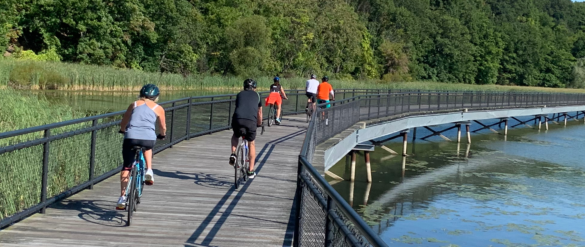
The Genesee Riverway Trail is a scenic multi-use trail which runs through Rochester from the Erie Canal to Lake Ontario. It is a designated National Recreational Trail, and connects to both the statewide Erie Canalway Trail and the Genesee Valley Greenway State Park.
There are many parks and historic districts to enjoy along the Genesee Riverway Trail. In addition, plans are underway to develop a New York State Park at High Falls.
Download the free Tour Blend App, or tap the graphic below for a free, audio-narrated tour describing more than 125 locations along the river.

You can access many walking / biking tours along the river using these links:
- Walk on the Old Erie Canal
- High Falls Historic District
- High Falls Loop
- Ecoloop at High Falls
- Charlotte and the Port of Rochester
- Lower Genesee Loops (over two bridges)
- Lower Falls and Maplewood Park
- Downtown ROC Riverfront (from Austin Steward park)
- Corn Hill Gateway Loop
- Genesee River South Loop (Ford Street to U of R)
- Erie Canal at Genesee Valley Park
The City of Rochester has begun a Genesee River Trail North feasibility study to examine the 8.5-mile portion of the trail that extends from downtown Rochester to Lake Ontario. The goal is to complete a seamless, accessible trail on both sides of the river.
Genesee RiverWatch works to improve the water quality of the Genesee River and its tributaries. They have created a blueway map of the Genesee river to help canoeists and kayakers explore the river.
The Genesee Valley Greenway State Park continues south for 90 miles along the Genesee River from Genesee Valley Park to the Village of Cuba in Allegany County. The Friends of the Genesee Valley Greenway have developed an interactive map of the greenway route.
This website was created by the Genesee River Alliance. Be the first to learn about events and activities along the river by signing up for the Genesee River Alliance Enews.
